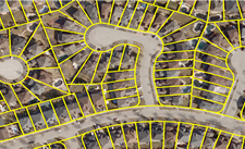
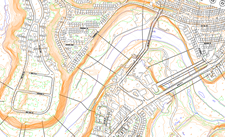
Measure and assess your site’s unique conditions with high resolution aerial imagery.
Estimate material costs & quote customers from your desk. Gain insights to make smart decisions and direct resources to where they’re most profitable.
Use Cases
Gain Situational Awareness
- Assess Potential Site Hazards Before You Go
- Measure Areas and Distances from Photos
- See Building Footprints, Fences, Slopes, Property Lines and More
- Make Informed Decisions
Win More Jobs
- Respond to Customers Promptly
- Make Quotes Quickly and Accurately
- Visualize and Communicate the Work Plan
- Deliver More Value Than the Competition
No More Lost Opportunity
- Optimize Workforce Allocation
- Reduce Costly Site Visits
- Predict Workloads Accurately
- Stop Accruing Unrecoverable Costs
Custom Solutions
Get a fully comprehensive solution that:

- Tracks Your Mobile Workforce and Assets in Real Time
- Plans and Tracks Project Progress
- Streamlines Administrative Tasks
- Provides a Competitive Advantage During the Project Bid Stage
- Improves Operational Efficiency Through Quicker Analysis and Decision Making
- Allows Accurate Site Analysis
Discover More
-

-
Data Catalogue
-

-
Orthophoto
-

-
VuMAP
-

-
Parcel
-

-
Elevation
-

-
Floodplain
-

-
Frequently Asked Questions
-

-
FBS University

 Blog: Places You Won’t Even Recognize Today [Photoblog]


 Use Cases In Depth
 Blog: VuMAP Helps Mobile Work Forces


 905-477-3600


